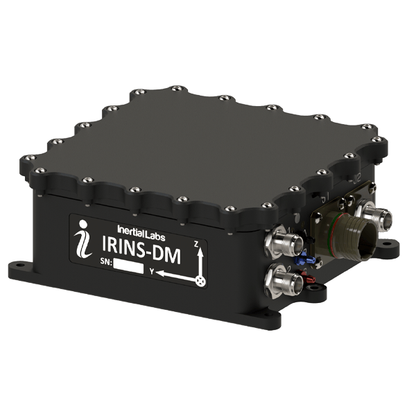
LEO and GNSS Aided Inertial Navigation System (IRINS-DM)
Overview
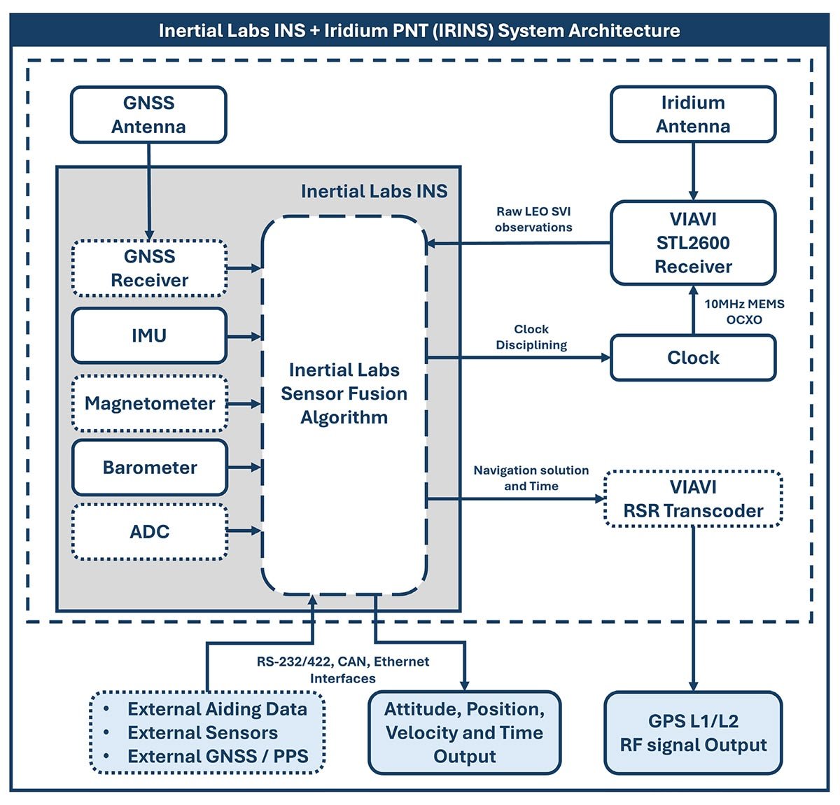
IRINS-DM is a result of fusion of the Novatel OEM7 GNSS receiver, LEO STL-2600 receiver, Tactical-grade MEMS Inertial Measurement Unit (IMU), embedded gyro-compensated fluxgate magnetic compass, Barro-Altimeter and embedded Air Data
Computer.
Optional onboard RSR transcoder converts the navigation solution into a simulated GPS (L1/L2) RF signal that can be accepted by any GNSS receiver.
The IRINS uses Inertial Labs’ sensor fusion filter, state-of-the-art navigation and guidance algorithms, and battle-proven jamming and spoofing algorithms to provide precise Time, Position, Velocity and Attitude measurements in challenging GNSS-denied environments.
IRINS-DM architecture
Features
- Assured Position, Navigation and Time (A-PNT) Solution
- LEO-Aided INS with embedded AHRS and GNSS receiver
- Low drift in GNSS and LEO denied environments
- Jamming and Spoofing mitigation
- Optionally embedded Transcoder GPS (L1/L2) RF signal output
Applications
- Medium and Long-range Unmanned Airial Vehicles (UAV)
- Loitering Munitions
- Unmanned Surface Vessels (USV)
- Manned and Unmanned Ground Vehicles (UGV)
- Navigation, Battle Management and Blue Force Tracking Systems
- Maritime Navigation and Dynamically Positioning Systems
IRINS-DM Main Specifications
| Parameter | IRINS-DM |
|---|---|
| GNSS-Denied Position Accuracy | 50 m, RMS |
| Heading Accurasy | 0.15° |
|
Horizontal Position (m, RMS) (SP/SBAS/DGPS/RTK) |
1 / 0.6 / 0.4 / 0.01 |
| Pitch & Roll Accuracy | 0.03° dynamic, 0.05° static |
| GNSS Constellations | GPS, GLONASS, Galileo, BeiDou, QZSS, NavIC |
| GNSS Corrections | TerraStar-L/C PRO, RTK, DGPS, SBAS, GLIDE, SPAN, GRIT |
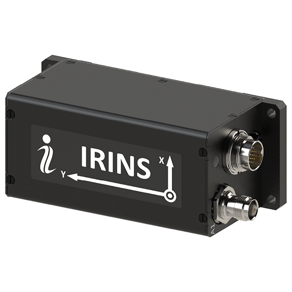
| Size (mm) | 160.0 x 141.2 x 61.3 |
| Weight (gram) | 1400 |
Related Products
APNT Solutions
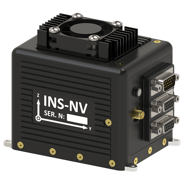
INS-NV
VINS
IRINS

INS-U
Trademark Legal Notice: All product names, logos, and brands are the property of their respective owners. All company, product, and service names used in this document are for identification purposes only. Use of these names, logos, and brands does not imply endorsement. ABS, BeiDou, Cobham Limited, EdgeTech, Galileo, GLONASS, GPS, Hexagon, HYPACK, IMAGENEX, Kongsberg Seatex, LabVIEW, Livox, Norbit, NovAtel, NovAtel Inertial Explorer, Ouster, Qinsy, Quanergy, QZSS, R2Sonic, RIEGL, ROCK Robotic, ROS, Septentrio, Ship Motion Control SMC, Teledyne TSS, u-blox, Velodyne, WAASP, Waypoint.