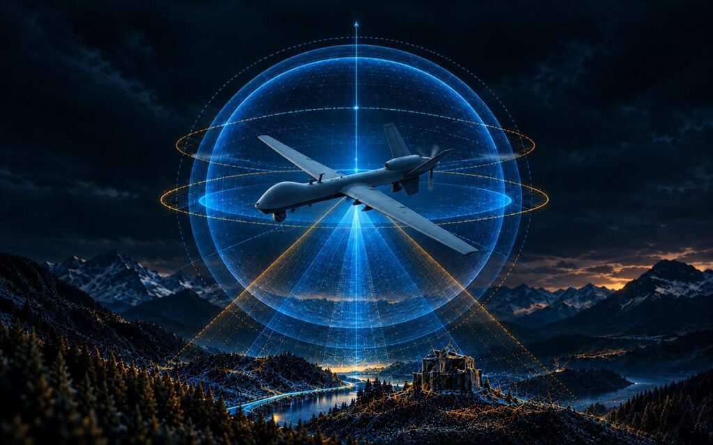
Operating without reliable Global Navigation Satellite Systems (GNSS) is a critical challenge for today’s autonomous platforms. While an Inertial Navigation System (INS) can provide position, velocity, and attitude when satellite navigation is unavailable, the accuracy of a purely inertial solution can gradually degrade over time.
That may be acceptable if GNSS outages are short in duration, but for longer operations, particularly those involving platforms in contested environments, additional sources of navigation information are needed to address inertial drift.
This is where Visual-Inertial Navigation Systems (VINS) plays a vital role.
By combining inertial navigation with information derived from cameras and other sensors, VINS can improve navigation performance during extended periods without GNSS.
Adding Vision to an Inertial Navigation System
The principle behind visual-inertial navigation is relatively straightforward.
An INS uses accelerometers and gyroscopes to calculate how a platform is moving. As these sensors operate independently of external signals, they remain available when GNSS is jammed, blocked or otherwise unavailable. Importantly, onboard computing and processing greatly reduce the risk of electromagnetic interference.
The overarching challenge is that small inertial measurement errors accumulate over time and generate absolute errors in positioning. As a result, a platform may not know how far it has drifted off course until an external sensor can revalidate its position.
VINS introduces another source of information: imagery.
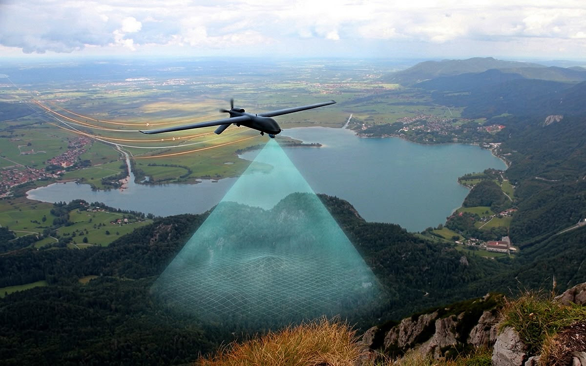
VINS technology is used to aid the navigation through analysing the changes in terrain as the platform moves. Known as visual odometry, this process provides an independent estimate of movement that can be used to support an inertial navigation system.
In practice, the camera observes changes in features on the ground or within the surrounding environment. Onboard software compares successive frames, before estimating the relative motion of the platform. This visual information can then be fused with the inertial solution to support greater accuracy for onboard navigation.
Visual Odometry vs. Map-Based Visual Navigation
An important distinction of visual odometry over navigation is that it does not necessarily require the system to recognise its exact location.
Where traditional map-based visual navigation attempts to match imagery with known terrain or stored maps to determine an absolute position, visual odometry measures relative movement.
As an example, a VINS system may determine that the platform has travelled a certain distance and direction between two observations. Even without identifying the precise geographical location represented by the image, this measurement provides valuable information about the platform’s motion.
That information can help constrain the velocity and positional errors that would otherwise accumulate within an unaided INS, and requires greater onboard computing power and processing time.
This makes visual odometry particularly useful as one component within a broader Assured Positioning, Navigation and Timing (APNT) architecture.
A Modular VINS Architecture for GPS-Denied Navigation
Inertial Labs’ VINS combines several navigation technologies within a modular system.
The architecture includes an inertial sensor module alongside camera-based sensing and a separate processing capability. The processing module performs the calculations required to turn imagery into useful navigation measurements and integrates these with the inertial solution.
This separation between sensing and processing provides flexibility when integrating VINS onto different platforms. It means the system can also incorporate additional sensor sources depending on the mission.
For aerial platforms, an Air Data Computer (ADC) can contribute measurements such as airspeed and pressure altitude, using static pressure and pitot sensors. These provide further independent information that can help reduce INS errors.
Other technologies can be layered onto the navigation architecture, including anti-jam GNSS equipment, controlled reception pattern antennas (CRPAs), software-defined radios, and alternative positioning sources.
VINS goes well beyond being an INS with a camera attached. Operators are able to leverage an architecture designed to combine multiple complementary sources of navigation information, and enhance sensor redundancy to support the platform’s INS.
Designed for Autonomous Platforms in a GPS-Denied Environment
The value of visual-inertial navigation increases the longer that GNSS denial goes on. When GNSS is initially lost, a high-quality INS can continue to support navigation. However, as the outage continues, positional uncertainty increases as external validation is reduced.
This makes visual-inertial navigation particularly relevant to unmanned and autonomous systems, which operate in contested and denied environments for the majority of their mission.
A UAV operating beyond line-of-sight may encounter terrain masking, urban environments, deliberate jamming, or other conditions where GNSS availability cannot be guaranteed.
US spelling: Defenseand security operations present a more complex working environment. Adversaries may actively attempt to deny or manipulate satellite navigation throughout the mission, meaning that multiple sensor support is needed.
Autonomous platforms therefore need to maintain enough navigation confidence to continue effective, safe operations rather than being dependent on recovering GNSS.
VINS provides another layer within that resilience. Being a modular system means that it can be readily adapted to operate on different platforms, giving operators the confidence that it can provide accuracy for their missions.
From Single-Source Navigation to Assured PNT (APNT)
The development of systems such as VINS reflects a broader change in navigation architecture. Historically, GNSS could often be treated as the dominant source of absolute position, with inertial navigation supporting the solution between satellite updates.
The growing complexity of contested environments called for new approaches. Navigation needs to draw on multiple independent sources, with a platform able to continue operating despite individual inputs becoming unavailable or unreliable.
Visual odometry is one part of that transition. Combined with inertial navigation and other aiding technologies, it can reduce dependence on GNSS and extend the period for which autonomous platforms can maintain an effective navigation solution.
For long-duration GPS-denied missions, a layered approach employing multiple sensor systems is becoming central to the development of resilient autonomy and APNT.
Explore our VINS vision-aided inertial navigation system : https://inertiallabs.com/products/apnt-assured-positioning-navigation-timing/vins-vision-aided-inertial-navigation-system/