
| MODEL |
 |
 |
 |
 |
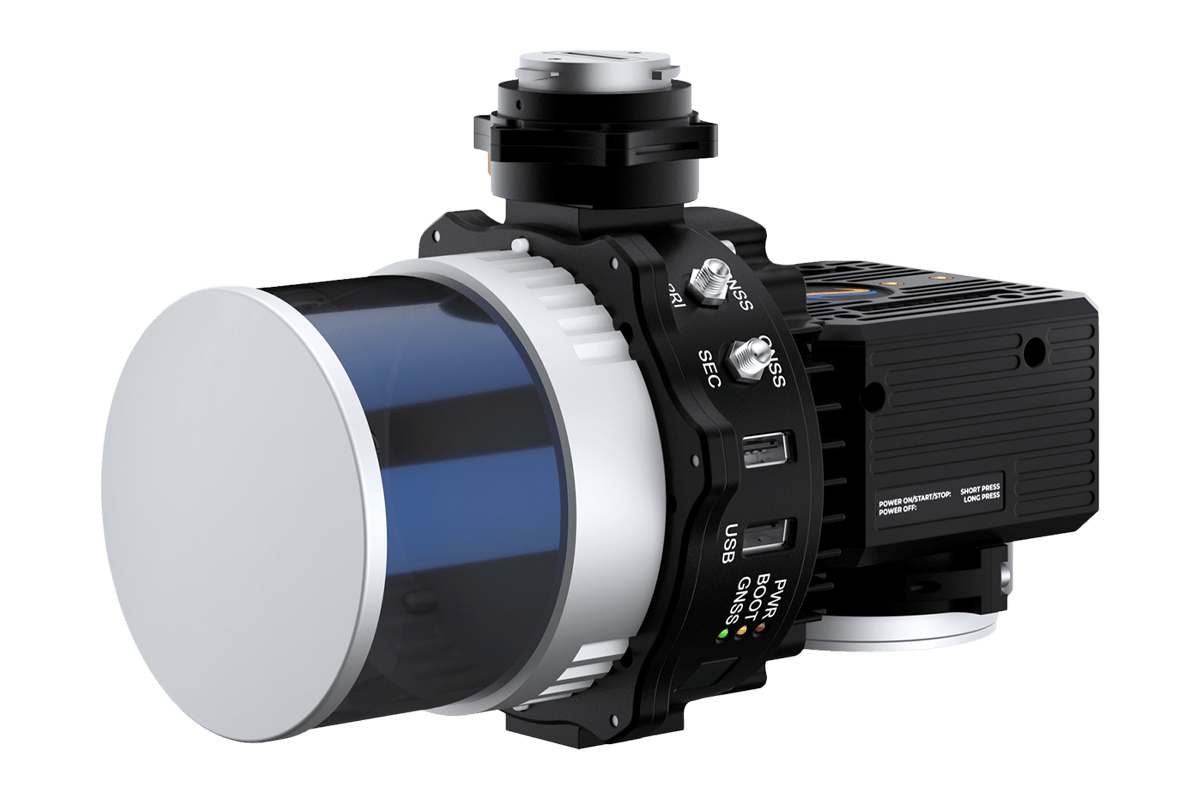
| RESEPI™ GEN-II | RESEPI™ LITE | RESEPI™ ULTRA LITE | TELEDYNE EchoONE | |
| Powered by GEN-ll Core, this is the most advanced RESEPI solution designed to meet the needs of demanding mapping and survey professionals today, tomorrow, and beyond | With a vast number of units being utilized across the globe, RESEPI Lite has become the solution trusted by professionals for tackling challenging projects that demand quality, reliability, and efficiency. | Built on the robust RESEPI Lite architecture, RESEPI Ultra Lite is the best Low-SWaP and most versatile Lidar solution offering an extraordinary value with uncompromised quality and performance. | Powered by Inertial Labs RESEPI GEN-II, the Teledyne EchoONE is the most innovative and powerful system that has been offered by Inertial Labs. Take advantage of unmatched precision and accuracy all in an impresively compact system. | |
| Supported LiDAR Scanners |
Ouster OS1-64 XT-32M2X |
Teledyne CL-360HD Ouster OS1-64 Velodyne VLP-32 XT-32M2X XT-32 Livox Avia |
XT-32 | Teledyne Geospatial |
| RGB Camera Option | Sony ILX-LR1 61MP | Sony A5100 OEM 24MP | OEM 5MP |
5MP Global Shutter Optional: Sony ILX-LR1 |
| System Accuracy (max. achievable) |
2 cm (at 50 m) |
2 cm (at 50 m) |
2 cm (at 50 m) |
- |
| Data Internal Precision (max. achievable) | 2 cm | 2 cm | 2 cm | 0.5 cm |
| Flex Configuration | YES | YES | - | - |
| Sensor Expansion | YES | - | - | - |
| Real-time Protocol | YES | - | - | YES |
| Dual-Antenna | YES | YES | - | YES |
| MMS | YES | YES | YES | - |
| SLAM | YES | YES | YES | - |
| Backpack/ Handheld Kit | YES | YES | YES | - |
| Onboard Storage (SSD) | YES | - | - | YES |
| External Data Comm (MAVLink, DJI PSDK) | YES | - | - | YES |
| RESEPI SnapFit Interface | YES | - | YES | YES |
| Weight | 1.3 ~ 1.7 kg | 0.9 ~ 4.3 kg | 1.2 kg | 1.65 kg |
| Model | RESEPI™ GEN-II | RESEPI™ LITE | RESEPI™ ULTRA LITE | TELEDYNE EchoONE |
| MODEL |
|
|
|
|
| RESEPI™ GEN-II | RESEPI™ LITE | RESEPI™ ULTRA LITE | TELEDYNE EchoONE | |
| Powered by GEN-ll Core, this is the most advanced RESEPI solution designed to meet the needs of demanding mapping and survey professionals today, tomorrow, and beyond | With a vast number of units being utilized across the globe, RESEPI Lite has become the solution trusted by professionals for tackling challenging projects that demand quality, reliability, and efficiency. | Built on the robust RESEPI Lite architecture, RESEPI Ultra Lite is the best Low-SWaP and most versatile Lidar solution offering an extraordinary value with uncompromised quality and performance. | Powered by Inertial Labs RESEPI GEN-II, the Teledyne EchoONE is the most innovative and powerful system that has been offered by Inertial Labs. Take advantage of unmatched precision and accuracy all in an impresively compact system. | |
| Supported LiDAR Scanners |
Ouster OS1-64 XT-32M2X |
Teledyne CL-360HD Ouster OS1-64 Velodyne VLP-32 XT-32M2X XT-32 Livox Avia |
XT-32 | Teledyne Geospatial |
| RGB Camera Option | Sony ILX-LR1 61MP | Sony A5100 OEM 24MP | OEM 5MP |
5MP Global Shutter Optional: Sony ILX-LR1 |
| System Accuracy (max. achievable) |
2 cm (at 50 m) |
2 cm (at 50 m) |
2 cm (at 50 m) |
- |
| Data Internal Precision (max. achievable) | 2 cm | 2 cm | 2 cm | 0.5 cm |
| Flex Configuration | YES | YES | - | - |
| Sensor Expansion | YES | - | - | - |
| Real-time Protocol | YES | - | - | YES |
| Dual-Antenna | YES | YES | - | YES |
| MMS | YES | YES | YES | - |
| SLAM | YES | YES | YES | - |
| Backpack/ Handheld Kit | YES | YES | YES | - |
| Onboard Storage (SSD) | YES | - | - | YES |
| External Data Comm (MAVLink, DJI PSDK) | YES | - | - | YES |
| RESEPI SnapFit Interface | YES | - | YES | YES |
| Weight | 1.3 ~ 1.7 kg | 0.9 ~ 4.3 kg | 1.2 kg | 1.65 kg |
| Model | RESEPI™ GEN-II | RESEPI™ LITE | RESEPI™ ULTRA LITE | TELEDYNE EchoONE |
| MODEL |
 |
 |
|
|
RESEPI™ GEN-II OS1-ILX |
RESEPI™ GEN-II M2X-ILX |
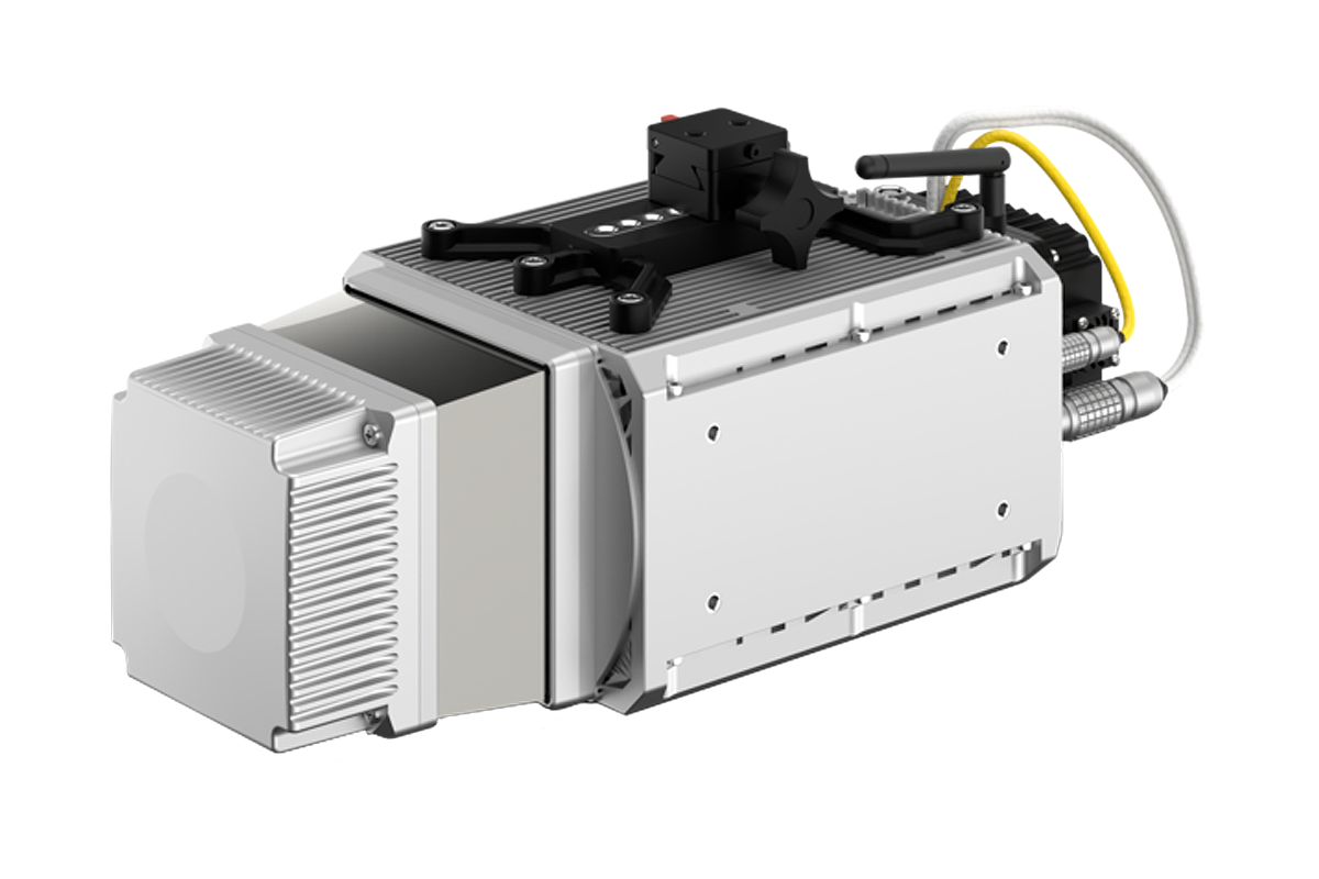
TELEDYNE EchoONE | |
| Ouster Remote Sensing Payload Instrument | Remote Sensing Payload Instrument | Teledyne Remote Sensing Payload Instrument | |
| Supported LiDAR Scanners |
 |
 |
 |
| System Vertical Accuracy | 3-5 cm | 2-3 cm | - |
| Precision | 4-6 cm | 2-4 cm | 0.5 cm |
|
Precision (1σ Noise Removal) |
2-4 cm | 1.5-2.5 cm | >0.5 cm |
| Recommended AGL (m) | Up to 75 m | Up to 150 m | Up to 205 m |
| Weight | 1.7 kg | 1.7 kg | 1.65 kg |
| Embedded Camera | 61 MP Sony ILX-LR1 | 61 MP Sony ILX-LR1 |
5 MP Embedded Optional: Sony ILX-LR1 |
| Size (cm) | 21.3 x 17.8 x 13.0 | 21.6 x 17.8 x 13.0 | 17.0 x 14.4 x 12.0 |
| Max Flight Time | 33 minutes (DJI M300) | 33 minutes (DJI M300) | 33 minutes (DJI M300) |
| Internal Storage | 512 GB, SSD | 512 GB, SSD | 512 GB, SSD |
| System Computer | Hexacore, 8GB DDR4 RAM, 16GB eMMC | Hexacore, 8GB DDR4 RAM, 16GB eMMC | Hexacore, 8GB DDR4 RAM, 16GB eMMC |
| Operational Voltage Range | 9-50V | 9-50V | 9-50V |
| Power Consumption | 55W | 40W | 75W |
| Model |
RESEPI™ GEN-II OS1-ILX |
RESEPI™ GEN-II M2X-ILX |
TELEDYNE EchoONE |
| Datasheet, PDF |
| MODEL |
 |
 |
 |
 |
 |
 |
 |
|
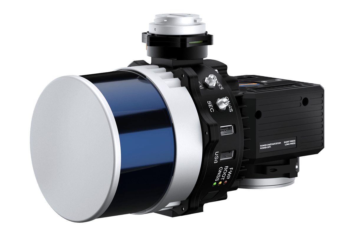
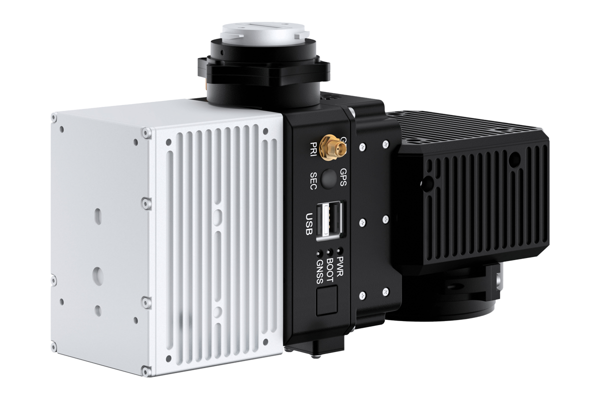
RESEPI™ Ultra LITE |
RESEPI™ LITE XT-32 |
RESEPI™ LITE XT-32M2X |
RESEPI™ LITE AVIA |
RESEPI™ LITE OS1-64 |
RESEPI™ LITE CL-360HD |
RESEPI™ LITE VLP-32C |
|
| Remote Sensing Payload Instrument | Remote Sensing Payload Instrument | Remote Sensing Payload Instrument | Livox Remote Sensing Payload Instrument | Ouster Remote Sensing Payload Instrument | Teledyne Remote Sensing Payload Instrument | Velodyne Remote Sensing Payload Instrument | |
| Supported LiDAR Scanners |
 |
|
|
 |
|
|
 |
| System Vertical Accuracy | 2-3 cm | 2-3 cm | 2-3 cm | 3-5 cm | 3-5 cm | 1-2 cm | 3-5 cm |
| Precision | 2-4 cm | 2-4 cm | 2-4 cm | 4-5 cm | 4-6 cm | 1-2 cm | 4-6 cm |
|
Precision (1σ Noise Removal) |
1.5-2.5 cm | 1.5-2.5 cm | 1.5-2.5 cm | 2-3 cm | 2-4 cm | 1-2 cm | 2-4 cm |
| Recommended AGL (m) | Up to 100 m | Up to 100 m | Up to 150 m | Up to 85 m | Up to 100 m | Up to 200 m | Up to 100 m |
| Weight | 1.2 kg (with camera) | 1.7 kg (with camera), 1.3 kg (without camera) | 1.4 kg (with camera), 1.0 kg (without camera) | 1.2 kg (with camera), 0.9 kg (without camera) | 1.4 kg (with camera), 1.0 kg (without camera) | 4.3 kg (without camera) | 1.8 kg (with camera), 1.4 kg (without camera) |
| Size (cm) | 13.1 x 11.2 x 10.3 | 20.8 x 17.0 x 14.2 | 20.8 x 16.5 x 14.2 | 20.0 x 13.0 x 9.2 | 20.6 x 16.5 x 14.2 | 36.9 x 16.0 x 15.5 | 21.9 x 14.2 x 14.2 |
| Max Flight Time | 35 minutes (DJI M350) | 33 minutes (DJI M300) | 33 minutes (DJI M300) | 33 minutes (DJI M300) | 33 minutes (DJI M300) | 23 minutes (DJI M600, TB48S batteries) | 33 minutes (DJI M300) |
| External Storage | 256 GB USB Included | 256 GB USB Included | 256 GB USB Included | 256 GB USB Included | 256 GB USB Included | 256 GB USB Included | 256 GB USB Included |
| System Computer | Quad Core, 1GB RAM, 8GB eMMC | Quad Core, 1GB RAM, 8GB eMMC | Quad Core, 1GB RAM, 8GB eMMC | Quad Core, 1GB RAM, 8GB eMMC | Quad Core, 1GB RAM, 8GB eMMC | Quad Core, 1GB RAM, 8GB eMMC | Quad Core, 1GB RAM, 8GB eMMC |
| Operational Voltage Range | 9-45V | 9-45V | 9-45V | 9-45V | 9-45V | 9-36V | 9-45V |
| Power Consumption | 20W | 26W | 26W | 16W | 41W |
42W (@ 100 Hz); 47W (@ 250 Hz) |
16W |
| Model |
RESEPI™ Ultra LITE |
RESEPI™ LITE XT-32 |
RESEPI™ LITE XT-32M2X |
RESEPI™ LITE AVIA |
RESEPI™ LITE OS1-64 |
RESEPI™ LITE CL-360HD |
RESEPI™ LITE VLP-32C |
| Datasheet, PDF |
| MODEL |
|
|
|
|
|
|
|
|
RESEPI™ LITE |
RESEPI™ LITE XT-32 |
RESEPI™ LITE XT-32M2X |
RESEPI™ LITE AVIA |
RESEPI™ LITE OS1-64 |
RESEPI™ LITE CL-360HD |
RESEPI™ LITE VLP-32C |
|
| Remote Sensing Payload Instrument | Remote Sensing Payload Instrument | Remote Sensing Payload Instrument | Livox Remote Sensing Payload Instrument | Ouster Remote Sensing Payload Instrument | Teledyne Remote Sensing Payload Instrument | Velodyne Remote Sensing Payload Instrument | |
| Supported LiDAR Scanners |
|
|
|
|
|
|
|
| System Vertical Accuracy | 2-3 cm | 2-3 cm | 2-3 cm | 3-5 cm | 3-5 cm | 1-2 cm | 3-5 cm |
| Precision | 2-4 cm | 2-4 cm | 2-4 cm | 4-5 cm | 4-6 cm | 1-2 cm | 4-6 cm |
|
Precision (1σ Noise Removal) |
1.5-2.5 cm | 1.5-2.5 cm | 1.5-2.5 cm | 2-3 cm | 2-4 cm | 1-2 cm | 2-4 cm |
| Recommended AGL (m) | Up to 100 m | Up to 100 m | Up to 150 m | Up to 85 m | Up to 100 m | Up to 200 m | Up to 100 m |
| Weight | 1.2 kg (with camera) | 1.7 kg (with camera), 1.3 kg (without camera) | 1.4 kg (with camera), 1.0 kg (without camera) | 1.2 kg (with camera), 0.9 kg (without camera) | 1.4 kg (with camera), 1.0 kg (without camera) | 4.3 kg (without camera) | 1.8 kg (with camera), 1.4 kg (without camera) |
| Size (cm) | 13.1 x 11.2 x 10.3 | 20.8 x 17.0 x 14.2 | 20.8 x 16.5 x 14.2 | 20.0 x 13.0 x 9.2 | 20.6 x 16.5 x 14.2 | 36.9 x 16.0 x 15.5 | 21.9 x 14.2 x 14.2 |
| Max Flight Time | 35 minutes (DJI M350) | 33 minutes (DJI M300) | 33 minutes (DJI M300) | 33 minutes (DJI M300) | 33 minutes (DJI M300) | 23 minutes (DJI M600, TB48S batteries) | 33 minutes (DJI M300) |
| External Storage | 256 GB USB Included | 256 GB USB Included | 256 GB USB Included | 256 GB USB Included | 256 GB USB Included | 256 GB USB Included | 256 GB USB Included |
| System Computer | Quad Core, 1GB RAM, 8GB eMMC | Quad Core, 1GB RAM, 8GB eMMC | Quad Core, 1GB RAM, 8GB eMMC | Quad Core, 1GB RAM, 8GB eMMC | Quad Core, 1GB RAM, 8GB eMMC | Quad Core, 1GB RAM, 8GB eMMC | Quad Core, 1GB RAM, 8GB eMMC |
| Operational Voltage Range | 9-45V | 9-45V | 9-45V | 9-45V | 9-45V | 9-36V | 9-45V |
| Power Consumption | 20W | 26W | 26W | 16W | 41W |
42W (@ 100 Hz); 47W (@ 250 Hz) |
16W |
| Model |
RESEPI™ LITE |
RESEPI™ LITE XT-32 |
RESEPI™ LITE XT-32M2X |
RESEPI™ LITE AVIA |
RESEPI™ LITE OS1-64 |
RESEPI™ LITE CL-360HD |
RESEPI™ LITE VLP-32C |
| Datasheet, PDF |
- All
- WISPR
- Freefly
- DJI
- Wingtra
- IFT
- ideaForge
- Event38
- arcsky
- Sony
- Carlson