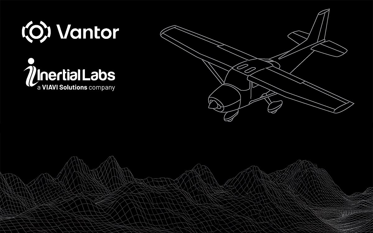
Sterling, VA — Inertial Labs, a VIAVI Solutions company and a leader in high-precision inertial navigation systems, has released a new case study highlighting how VINS successfully integrated with Raptor Guide™ Vision-Based Positioning Software developed by Vantor™ to achieve reliable, high-accuracy navigation in GNSS-denied and GNSS-degraded environments.
As autonomous platforms continue to operate in increasingly complex environments — from urban corridors to signal-restricted zones – the need for resilient positioning technologies has become critical. Traditional GNSS-based navigation alone is no longer sufficient in many operational scenarios.
Solving the Challenge of GNSS-Denied Navigation
VINS required a navigation solution capable of delivering stable, real-time positioning even when satellite signals were unreliable or unavailable. The objective was clear: enhance positioning accuracy, maintain operational continuity, and reduce dependency on external infrastructure.
By integrating Inertial Labs’ high-performance inertial navigation system, with Raptor Guide™ Software, VINS created a robust sensor fusion architecture that combines inertial measurement data with visual inputs to maintain precise localization.
The result was a resilient navigation ecosystem designed to perform under real-world constraints.
Key Outcomes of the Integration
The implementation delivered measurable improvements across multiple operational parameters:
- Reliable positioning performance in GNSS-denied and degraded environments
- Improved accuracy and stability for mobile and autonomous platforms
- Seamless sensor fusion between inertial and vision-based systems
- Scalable deployment across diverse mission profiles
By leveraging the complementary strengths of inertial navigation and vision-based positioning, VINS achieved enhanced situational awareness and continuous operational capability.
Enabling the Next Generation of Autonomous Systems
The integration of Inertial Labs’ inertial navigation technology with Vantor’s Raptor™ demonstrates how modern navigation systems must evolve beyond single-sensor dependence. Fusing inertial navigation systems (INS) with vision-based positioning software provides the redundancy and reliability required for today’s demanding autonomy applications — including UAVs, mobile mapping systems, robotics, and defense platforms.
This case study underscores Inertial Labs’ commitment to developing precision navigation technologies that perform in the environments where reliability matters most.


