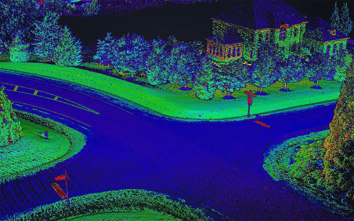
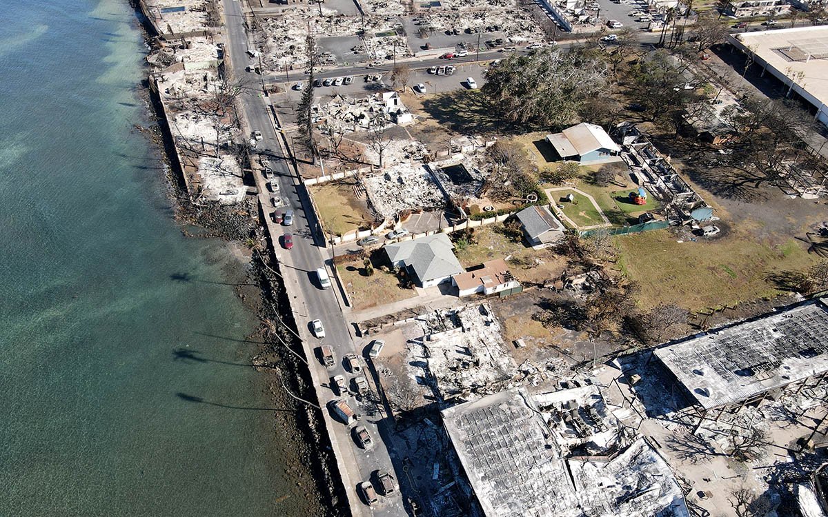
You may have heard the term “Intensity” many times. In the context of LiDAR data, it refers to the power of the reflected laser pulse as recorded by the LiDAR receiver. Intensity depends on many factors, for example:
- Material type. Different materials reflect infrared radiation differently due to their distinct physical properties.
- Distance to the receiver. The further an object is from the LiDAR, the weaker the reflected signal will be.
- Angle of incidence. The greater the angle at which the laser beam strikes the surface, the lower the intensity of the reflected signal.
- Weather conditions. Rain, snow, and fog can weaken the laser beam and reduce the intensity of the reflected signal.
- Type of LiDAR. Different kinds of LiDAR (for example, pulsed and continuous) may have different formulas for calculating intensity. This also includes the wavelength of the emission—for instance, 905 nm or 1550 nm will be reflected differently from the same objects under identical conditions.
- Laser wavelength. Different wavelengths may interact with various materials in different ways [1].
From the first two points, it becomes clear that intensity information can help in identifying and classifying objects. This approach is not new and has been in practice for a long time. There are several interesting articles on the subject, for example [2] and [3]. The work [4] is also noteworthy.
Let’s delve a bit deeper into how this works. Below is a simplified formula for the received signal power (1) [4]:
 (1)
(1)
where ![]() is received optical power [W],
is received optical power [W], ![]() is transmitted power [W],
is transmitted power [W], ![]() = receiver aperture diameter [m],
= receiver aperture diameter [m], ![]() = effective target cross section [m2],
= effective target cross section [m2], ![]() is the atmospheric transmission factor,
is the atmospheric transmission factor, ![]() is the system transmission factor,
is the system transmission factor, ![]() is range [m], and
is range [m], and ![]() is transmit beamwidth [rad].
is transmit beamwidth [rad].
The effective target cross section (or effective scattering area) ![]() is a measure of how well the LiDAR detects an object. This parameter can be expressed as follows (2):
is a measure of how well the LiDAR detects an object. This parameter can be expressed as follows (2):
 (2)
(2)
where ![]() is target reflectance at the laser wavelength, Ω = scattering solid angle [sr], and
is target reflectance at the laser wavelength, Ω = scattering solid angle [sr], and ![]() is target area [m2].
is target area [m2].
If the target is large enough to cover the laser beam completely and reflects light uniformly in all directions (like a Lambertian surface), then the equation describing the LiDAR range can be written as follows (3):
 (3)
(3)
where ![]() is the angle of incidence of the beam.
is the angle of incidence of the beam.
These formulas are simplified and do not account for all factors affecting LiDAR intensity. However, they can help understand the basic principles of LiDAR operation.
For illustration purposes, we conducted a simulation using equation (3) with the simplification of ![]() =
= ![]() . Some of the values, such as the receiver aperture diameter, might be unknown, so we did not aim to use exact figures for any specific LiDAR. Instead, we made certain assumptions to demonstrate the dependence of the detection range on intensity. The simulation result is shown in Figure 1— as can be seen, the higher the reflectivity coefficient, the greater the detection range.
. Some of the values, such as the receiver aperture diameter, might be unknown, so we did not aim to use exact figures for any specific LiDAR. Instead, we made certain assumptions to demonstrate the dependence of the detection range on intensity. The simulation result is shown in Figure 1— as can be seen, the higher the reflectivity coefficient, the greater the detection range.

Figure 1. Dependence of detection range on intensity.
For ρ = 0.1, the maximum range ≈ is 30 m. For ρ = 0.325, maximum range ≈ 54 m. For ρ = 0.55, the maximum range ≈ 70 m. For ρ = 0.775, maximum range ≈ 83 m. For ρ = 1, maximum range ≈ 94 m.
The threshold value corresponds to 1 nW, which is typical for highly sensitive APD photodiodes [5]. We also note that intensity values are often normalized to a specific scale, for example, from 0 to 1 or from 0 to 255. This is standard practice in LiDAR systems. Therefore, if you have observed intensity values within a positive range in software used for processing or visualizing point clouds, it means that they have been scaled according to the LiDAR manufacturer’s specifications, as shown in Figure 2.

Figure 2. Intensity value range scaled to the manufacturer’s specifications.
Intensity information is crucial for reliable and high-quality classification, as it is not always possible to classify objects solely based on their geometric features. There are patents proposing the use of intensity for object detection in autonomous vehicles [6]. Intensity is also used for classifying agricultural land by usage type [7].
Thus, intensity provides additional information about the surface that is not available using other methods. This approach enables increased measurement accuracy and enhanced quality of results. Intensity can be applied in various fields and used to solve different tasks. In conclusion, LiDAR intensity is a crucial parameter that significantly impacts the quality and accuracy of data obtained using this technology.
References
[1] Mendez, Maria. “Why Have 905 and 1550 Nm Become the Standard for LiDARs?” Inertial Labs, 18 Dec. 2024, inertiallabs.com/why-have-905-and-1550-nm-become-the-standard-for-lidars/. Accessed 14 Feb. 2025.
[2] Liu, Yuee, et al. “Classification of Airborne LIDAR Intensity Data Using Statistical Analysis and Hough Transform with Application to Power Line Corridors.” 2009 Digital Image Computing: Techniques and Applications, 2009, pp. 462–467, https://doi.org/10.1109/dicta.2009.83. Accessed 14 Feb. 2025.
[3] Christophe Reymann, Simon Lacroix. Improving LiDAR Point Cloud Classification using Intensities and Multiple Echoes. IEEE/RSJ International Conference on Intelligent Robots and Systems (IROS 2015), Sep 2015, Hamburg, Germany. 7p. hal-01182604⟩
[4] Kashani, Alireza, et al. “A Review of LIDAR Radiometric Processing: From Ad Hoc Intensity Correction to Rigorous Radiometric Calibration.” Sensors, vol. 15, no. 11, 6 Nov. 2015, pp. 28099–28128, https://doi.org/10.3390/s151128099. Accessed 25 Aug. 2020.
[5] “Avalanche Photodiode.” Wikipedia, 17 Feb. 2021, en.wikipedia.org/wiki/Avalanche photodiode.
[6] “US10598791B2 – Object Detection Based on Lidar Intensity – Google Patents.” Google.com, 22 Oct. 2018, patents.google.com/patent/US10598791B2/en?oq=US10598791B2. Accessed 14 Feb. 2025.
[7] Mesas-Carrascosa, Francisco Javier, et al. “Combining LiDAR Intensity with Aerial Camera Data to Discriminate Agricultural Land Uses.” Computers and Electronics in Agriculture, vol. 84, June 2012, pp. 36–46, https://doi.org/10.1016/j.compag.2012.02.020. Accessed 14 Feb. 2025.


