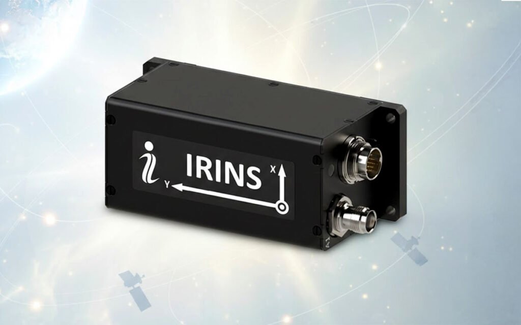
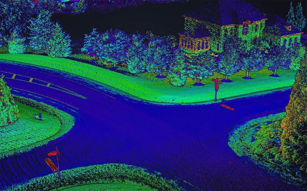
Roman Rudenko

AUVSI 2024

Inertial Labs Triumphs at Xponential 2024 with Cutting-Edge Product Showcases and Exclusive CEO Interview

Paeonian Springs, VA Inertial Labs, a pioneer in developing inertial navigation and motion sensing technologies, proudly announces its successful exhibition at Xponential 2024, held last month. This premier gathering of global leaders in unmanned systems, robotics, and autonomy provided an outstanding platform for Inertial Labs to display its latest innovations and industry-leading solutions. Throughout the

Inertial Labs Triumphs at Xponential 2024 with Cutting-Edge Product Showcases and Exclusive CEO Interview Read More »

INS-U GPS- Aided Inertial Navigation System

Inertial Labs upgraded the INS-U GPS-Aided Navigation System

Inertial Labs, a developer of GPS-Aided Inertial Navigation and Measurement Units, has announced the release of an upgraded version of the INS-U GPS-Aided Navigation System, a revolutionary unit due to its extended version of Differential Pressure Sensor and Embedded Air Data Computer, allowing the team to measure airspeed with up to 600 KNOTS to enhance high

Inertial Labs upgraded the INS-U GPS-Aided Navigation System Read More »

Inertial Labs Releases IMU-FI-200C High-Performance Fiber-Optic Gyroscopes (FOG) Inertial Measurement Units

Inertial Labs, a developer of inertial navigation and measurement units, has announced the release of IMU-FI-200C High-Performance Fiber-Optic Gyroscopes (FOG) Inertial Measurement Units, a revolutionary unit due to its compact, self-contained strapdown, advanced tactical-grade Inertial Measurement Units, that measures linear accelerations and angular rates with three-axis tactical-grade, closed-loop Fiber-Optic Gyroscopes (FOG) and three-axis high-precision MEMS

Inertial Labs Releases IMU-FI-200C High-Performance Fiber-Optic Gyroscopes (FOG) Inertial Measurement Units Read More »

Drone Surveying Mapping

Drone Surveying Mapping: Comparing RESEPI XT-32 vs Livox Avia LiDAR

INTRODUCTION   Deciding which drone LiDAR system to get for drone surveying mapping is difficult, especially if it’s your first unit. Cost of a drone LiDAR package, although much lower today compared to just 18 months ago, still can get expensive. But cost should not be the only consideration, maybe not even the most important

Drone Surveying Mapping: Comparing RESEPI XT-32 vs Livox Avia LiDAR Read More »

Scroll to Top

Website maintenance has been scheduled for Sunday, April 2 from 7 am to 9 pm EDT.
The resource may be unavailable at this time. Please accept our apologies for any inconvenience.