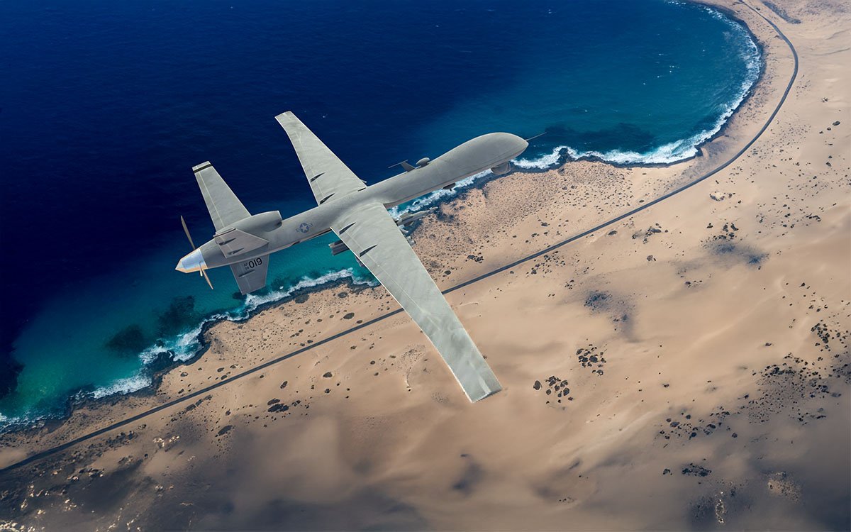
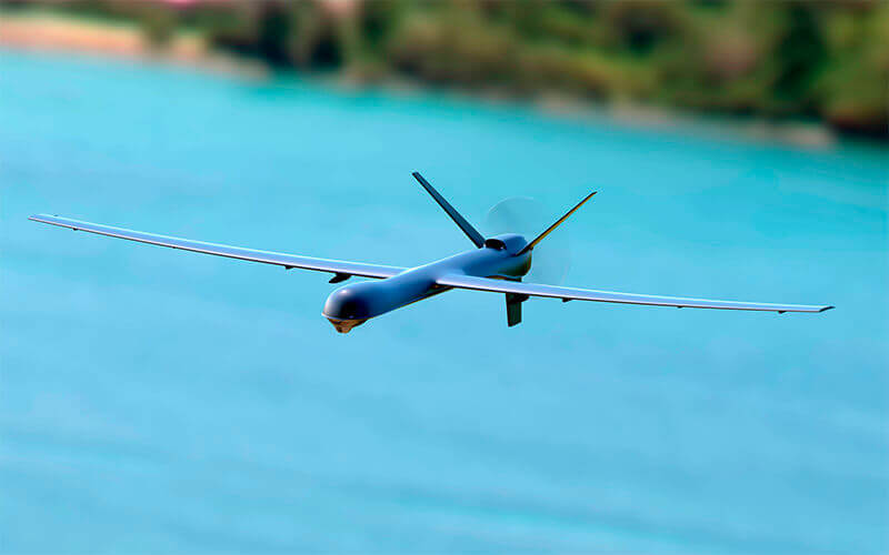
We are a leader in advanced Inertial Measurement Units (IMUs) and Inertial Navigation Systems (INS) tailored for UAVs operating in complex, dynamic, and often GPS-challenged environments. Whether for reconnaissance, strike, mapping, or civil inspection missions, our solutions enable stable flight and accurate navigation — even when GNSS is not available.
Our IMUs are based on MEMS (Micro Electro Mechanical Sensors) technology and use three-axis accelerometers and gyroscopes to measure linear acceleration and angular velocity (roll, pitch, yaw). This is essential for:
Flight stabilisation in fixed-wing, VTOL and multicopter drones
Orientation tracking for autopilots and gimbals
Short-term dead reckoning when GNSS is briefly unavailable
IMUs Range
We offer a range of IMUs from industrial-grade to tactical-grade, including our popular Kernel-210 and Kernel-201 models, selected for UAVs requiring:
Pitot tubes or differential pressure sensors (for airspeed and wind estimation)
With our proprietary Kalman filter algorithms, advanced sensor fusion is achieved that enables:
Full attitude, heading, position, and velocity
GNSS-denied navigation for UAV platforms
Spoofing/jamming detection and correction
Adaptive sensor calibration in real time
INS Range
Our INS products — such as the INS-U and INS-P — are used extensively in both military UAVs and civil UAVs operating in GPS-denied environments, including heavy electronic warfare (EW) conditions.
We support seamless integration with major flight controller systems:
ArduPilot (official driver in the repo, advanced features in our fork)
PX4
Custom autopilot frameworks
Our systems output clean, fused data that can be treated as external GPS or full navigation input, allowing for flexible integration depending on the UAV’s architecture and mission.
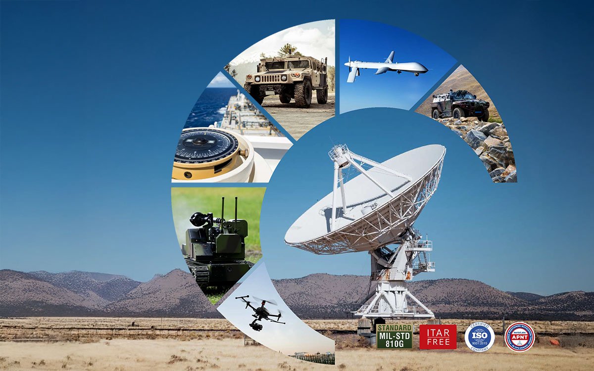
Trusted by Defense Innovators
Inertial Labs technology is field-proven and has been deployed on a wide range of UAV platforms, including in operational, mission-critical scenarios. The platforms that Inertial Labs IMU-INS products are optimised for include:
ISR Platforms
Deep Strike Drones
Autonomous Loitering Munitions
Civil Inspection and Mapping UAVs
Whether you’re upgrading a quadcopter or developing next-generation fixed-wing systems, we help UAV developers meet the challenges of denied environments, complex airspace, and precision targeting.
Why Choose Inertial Labs for UAV Navigation?
US-based manufacturer with global footprint
Advanced, customisable Kalman filters for sensor fusion
Tactical-grade performance in compact packages
Expert support for defense and UAV integrators
Looking for an INS that works when GNSS doesn’t?
Send request to our Sales Team
Trademark Legal Notice: All product names, logos, and brands are the property of their respective owners. All company, product, and service names used in this document are for identification purposes only. Use of these names, logos, and brands does not imply endorsement. ABS, BeiDou, Cobham Limited, EdgeTech, Galileo, GLONASS, GPS, Hexagon, HYPACK, IMAGENEX, Kongsberg Seatex, LabVIEW, Livox, Norbit, NovAtel, NovAtel Inertial Explorer, Ouster, Qinsy, Quanergy, QZSS, R2Sonic, RIEGL, ROS, Septentrio, Ship Motion Control SMC, Teledyne TSS, u-blox, Velodyne, WAASP, Waypoint.
Scroll to Top
Website maintenance has been scheduled for Sunday, April 2 from 7 am to 9 pm EDT. The resource may be unavailable at this time. Please accept our apologies for any inconvenience.